With the help of University of New Mexico outdoor recreation coordinator Charles Gwinn, the Daily Lobo team explored some incredible camping spots and compiled our favorites into this list for readers who want to give camping a try in their own backyard. Gwinn, along with recommendations for great camping spots, provided us with useful and important tips for new campers. Enjoy!
San Gregorio Reservoir, San Pedro Parks Wilderness: Santa Fe National Forest — Liam DeBonis
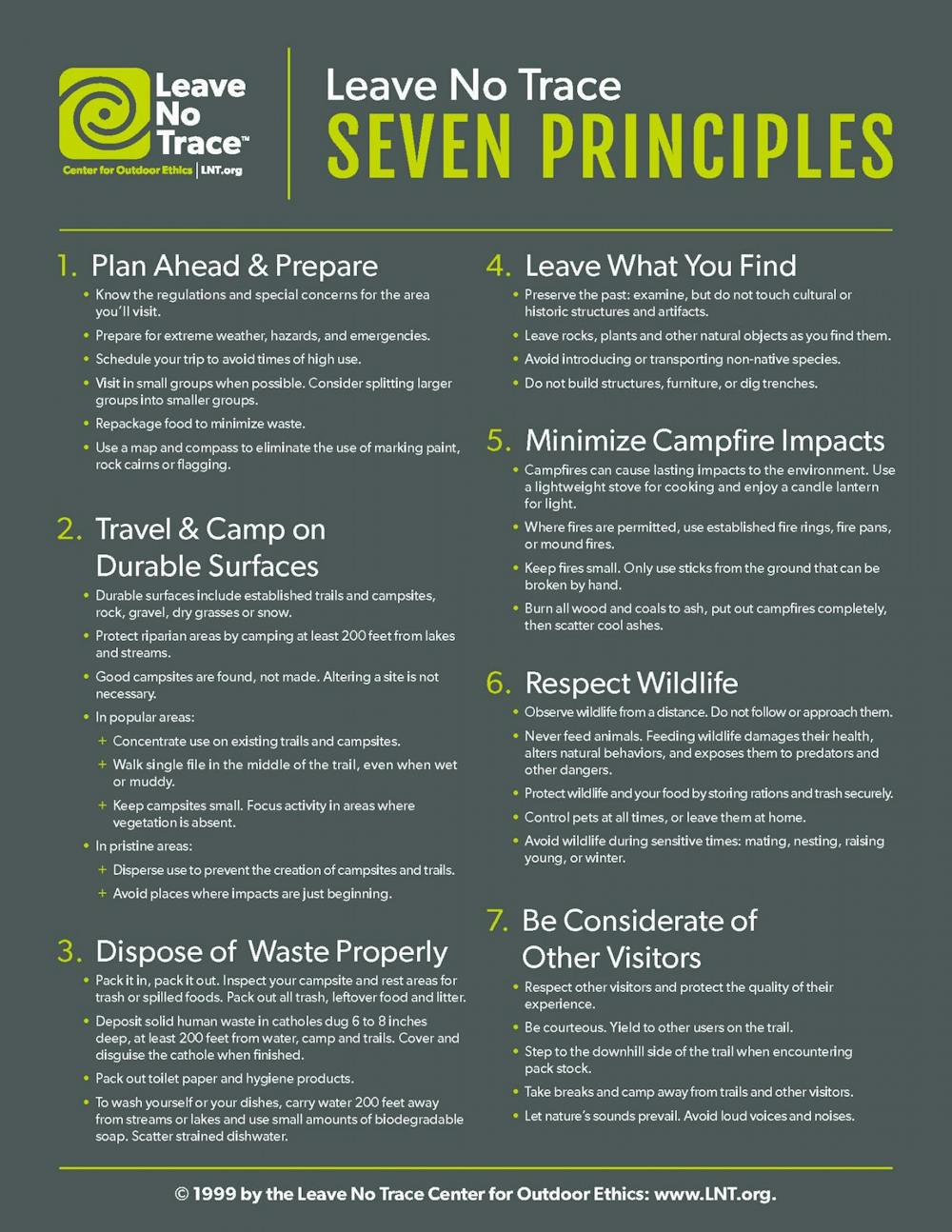
San Gregorio Reservoir, San Pedro Parks Wilderness, Santa Fe National Forest.
San Pedro Parks Wilderness is a remote escape nestled in a surprisingly accessible area of the Jemez mountain range. Only a short 25-minute drive in from Cuba, NM, the area is accommodating for all levels of outdoors experience. A winding, not-too-bumpy dirt road leads past relatively primitive campgrounds. An easy 2-mile path to the San Gregorio Reservoir will bring you to a beautiful clearing, with a large body of water, an adjoining meadow and plenty of wildlife. Further up Forest Road 70, the Palomas Trailhead invites you to challenge yourself to a more moderate hike through the mountains.
Valley of Fires: Carrizozo, New Mexico — Gabrielle Ortiz
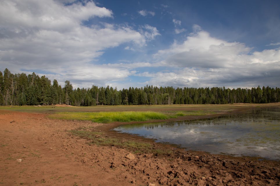
Valley of Fires, Carrizozo, New Mexico.
This camping area is perfect for adventurers of any experience level, especially beginners. The Valley of Fires recreation area is located 4 miles west of Carrizozo, NM on US 380. There are plenty of hiking areas surrounding the campground, and the Malpais Trail is fully accessible from the group shelter. There are 19 campsites available for tent camping and 14 spots with RV hookups. Two of the sites are wheelchair accessible, along with a full facility bathroom with showers and vault toilets that are available around the park. Potable water is also available at each camp site.
The hiking around the area is mostly flat and manageable, with a beautiful view of the Malpais Lava Flow, which is considered to be one of the youngest lava flows in the continental United States. The nature trails also offer great views of various flowers and cacti, alongside a variety of bird species which visit the area routinely.
Seismosaurus Trail: Ojito Wilderness — Lissa Knudsen
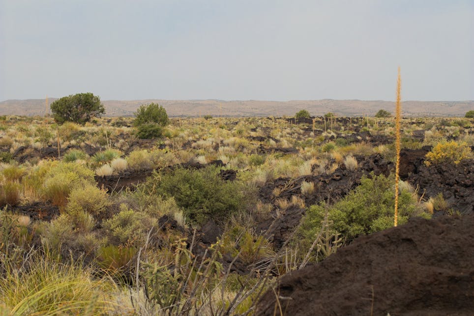
Seismosaurus Trail, Ojito Wilderness.
Get content from The Daily Lobo delivered to your inbox
Seismosaurus is located on Cabezon Road off of 550, near San Ysidro, NM. Getting to the campsite involves a 2.2 mile hike from the parking area. The trail is lightly trafficked and features beautiful wild flowers and petrified piñon trees. There is a convenient place to set up camp at the end of the trail, just before an overlook featuring petroglyphs etched on rust-brown boulders. From the site you can look out over a vast canyon and make out hoodoos — distinct sedimentary rock formations — and at night you can make out constellations that are obstructed by light pollution most anywhere else in the Albuquerque metro area.
For anywhere just under an hour by car out of the city, Ojito is undoubtedly among the choicest locations for the right mix of solitude, scenery and stargazing.
Middle Fork (Lightfeather) Hot Springs Trail: Gila National Forest — Lissa Knudsen
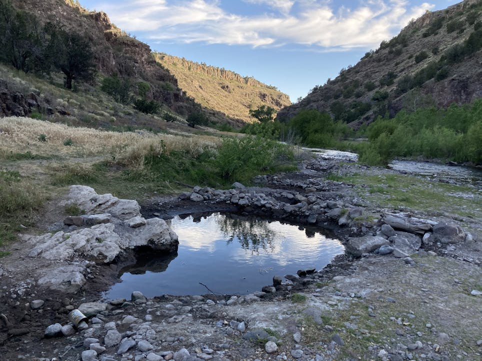
Middle Fork (Lightfeather) Hot Springs Trail, Gila National Forest.
Middle Fork (Lightfeather) Hot Springs Trail is a 1.4-mile, lightly trafficked out and back trail located near Pinos Altos, New Mexico that features a collection of small hot springs. The trail is primarily used for hiking, walking, nature trips and bird watching and is best used from March until October. This is an easy hike with two river crossings but in May of this year the crossings were ankle-high and the rocks slippery. Sandals are recommended and possibly a walking stick. The temperature of the pools range from scalding hot to lukewarm. There’s a lovely little campsite just up the trail from the hot springs, under a big cottonwood tree.
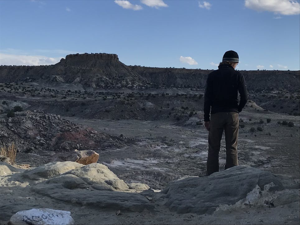
La Luz/Grand Enchantment Trail Intersection (Sandia Crest): Cibola National Forest — Lissa Knudsen
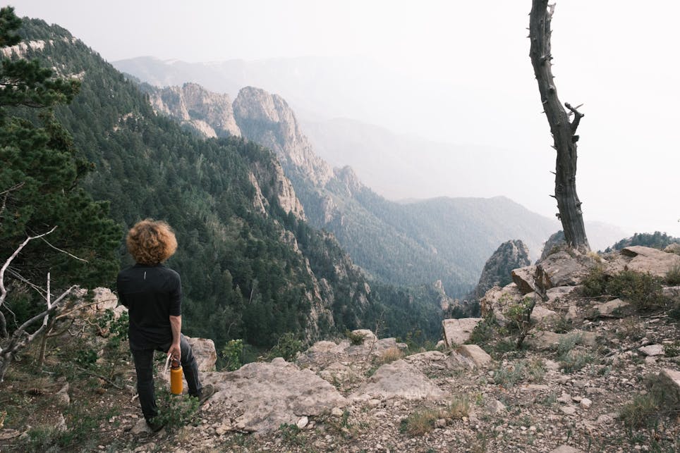
La Luz/Grand Enchantment Trail Intersection (Sandia Crest), Cibola National Forest.
This location is just a 10 minute hike in from the lower Crest parking lot, across the meadow, to the edge of the mountain. There are no guides that highlight this location as it’s typically considered a heavily trafficked intersection for those hiking up or down the La Luz trail. However, on a quiet midweek evening, it’s an easy hike in and provides some of the most picturesque views of Albuquerque. We’ve been told you can also add a hike across the Crest to go to the Tram and Ten 3 (one of the priciest restaurants in New Mexico), but for the price-conscious among us it’s a beautiful destination on its own.
“When in doubt shoot us an email - outdooradventures@unm.edu. Planning trips is a passion and we're happy to help make a good trip great.” Gwinn said. He also had these helpful tips for new campers:
- “Always let someone know where you are going and when you expect to return. Give them the details about your trip like trailheads/routes you'll be using and alternate areas in case you arrive and there are closures or it's crowded. Call/text to let them know you're home.”
- “Be sure to camp 200ft from the trail and water sources.”
- “Take some form of water purification, a first aid kit, a form of shelter (I use a light tarp), and a way to start fire (for emergencies only).”
- “Try to leave the place better than you found it.” Check out the Leave No Trace guidelines attached.
- “Water and sun are a constant factor in NM and not preparing for just these two elements can wreck a fun adventure. Always check for closures and restrictions with the Forest Service or BLM before you set out. Check the weather and check it again.”
- “When in doubt call the ranger district to check conditions of whatever trail and access you're planning.”